No specific info about version 1.5. Please visit the main page of Photo Location Map on Software Informer.
downloads maps and SATellite Images from different sources
Tool to quickly visualize the GPS location of a photo.
RoboGEO enables us to input geocoding data into maps.
Add geotagging information to your photos.
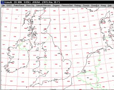
It plots a world map in either azimuth (beam heading) or Mercator projections.


Comments